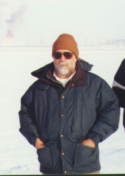
Guest Speaker, Professor Carlos Aiken
Dr Aiken is a geophysicist in the Cybermapping Lab of the Geosciences Department
and has been involved with the GIS/Geospatial program at UTD since the early
1990s. He has specialized in satellite positioning (GPS ) since 1986 and
geospatial mapping using GIS technology since 1994 in geosciences. Since 1997 he
has been developing "Cybermapping" the integration of laser mapping and digital
photography in close range remote sensing in which he is co-patent holder with
his former student Dr. Xueming Xu. His group has been capturing and creating
three dimensional photorealistic modeling of natural surfaces around the world.
GIS has always been an important component in this activity.
Dr. Aiken uses GIS and remote sensing techniques in geophysics and geology. He works with students in both the GIS and geosciences departments. He will share his wisdom with us in the big lecture hall CN 1.112 at 10:45am.
Dr. Aiken uses GIS and remote sensing techniques in geophysics and geology. He works with students in both the GIS and geosciences departments. He will share his wisdom with us in the big lecture hall CN 1.112 at 10:45am.
