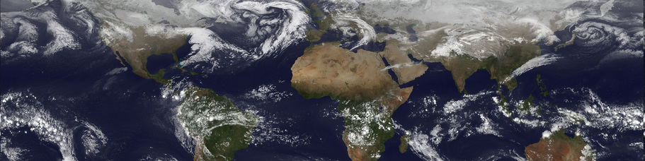
Powerful new technologies have emerged in recent years that greatly improve our ability to collect, store, manage, analyze, and utilize information regarding the features of the Earth's surface and to combine these with other types of economic, social and environmental information.
These technologies include geographic information systems (GIS), the global positioning system (GPS), and satellite based remote sensing. They now penetrate every aspect of our lives from digital maps in vehicles to the management and maintenance of city infrastructure, regional agriculture and forest lands.
The term Geographic or Geospatial Information Science (GISci) has been coined to describe this quickly growing field. It has revolutionized many traditional disciplines such as geography and brought together scientists and practitioners from a variety of fields.
The School of Economic Political and Policy Sciences (EPPS) at UTDallas offers a wide range of courses in spatial sciences and has been leader in GIS education and research for over a decade. We are proud to be a department of firsts. We offered the first Certificate in GIS in the Metroplex (1994); the first Master's degree in GISci (1998) ; and the first PhD degree (2005). For more information about the GIS program at UTD, please visit http://www.utdallas.edu/epps/gis/.
Take a look at these free e-books for more information on the usefulness of GIS:
What is GIS? Climate Change is a Geographic Problem
GIS in Africa Polar Regions
Understanding Earth Renewable Energy
GIS for the Oceans GIS for Environmental Management
GIS in Africa Polar Regions
Understanding Earth Renewable Energy
GIS for the Oceans GIS for Environmental Management